
Tracing a Ramapo Street by Address
A Ramapo street directory search is strongest when it moves from location to record. First standardize the address with USPS and retain the village or postal label shown. Then use the County map to find the parcel and SBL. The Town assessment roll provides tax-record context. The Clerk index supplies recorded party roles and legal descriptions. A library reverse directory can add an earlier address clue, while a permit request can date a project at the site.
Each source has limits. A tax owner need not be the current occupant. A deed documents a recording, not daily residence. A voter match confirms only a qualified registration record. Use the address as the common key and mark the source year as you go.
- Search the address or Tax ID in the Rockland GIS Base Map and write down the parcel identity.
- Read the Ramapo assessment roll for the situs, tax owner, mailing line, assessment year, and exemptions.
- Search the owner as grantee in the Clerk index, then preserve the grantor, document reference, and legal description.
- Request permit, certificate, complaint, or code files by exact address, SBL, and date range when a dated project matters.
- Check reverse directories and newspapers for an older address-to-name clue, then compare it with the parcel trail.
Ramapo Street Numbers and SBLs
Three identifiers make a Ramapo street directory record easier to verify: the situs address, the section-block-lot number, and the owner name. The Town building application itself uses a legal address, SBL, and closest intersecting street. An address can fail in an old roll or deed because the parcel uses a legal lot description, a different postal place, or an earlier road spelling.
Situs is the physical location of the parcel. The mailing address is where tax notices are sent. The legal description is the deed or map identity. These lines can differ without creating an error. Preserve all three. When a historical street number disappears, the SBL, prior deed reference, adjacent parcel, cross street, and subdivision map are usually stronger bridges than a ZIP label.
- Parcel
- A defined piece of land shown on the tax map and tied to an SBL or Tax ID.
- Situs address
- The physical address used to identify the land being assessed.
- Plat or subdivision map
- A recorded map showing lot, block, road, or right-of-way context.
- Criss-cross directory
- An address-order directory section that can point to an earlier occupant or business.
Note: No verified Town-wide renumbering project was located, so bridge an old address through map and parcel evidence rather than assuming a number changed.
Ramapo Street Directory GIS Fields
The Rockland GIS Portal supplies the street-level map context for Ramapo. County information says the Base Map accepts an Address or Tax ID and can display parcels, municipal boundaries, roads, public transportation, historic resources, land-use, environmental, topographic, and election-district layers. Search one confirmed address first, then pan along the road and inspect nearby parcel polygons.
| GIS control | Street-directory use | What it does not prove |
|---|---|---|
| Address search | Locates the mapped street point. | Current ownership or occupancy. |
| Tax ID search | Connects the map to the roll and deed chain. | All past street labels. |
| Parcel layer | Shows parcel geometry and road frontage. | A neighbor's name without a separate record. |
| Municipal and district layers | Separates Town, village, and election context. | A postal delivery boundary. |
The County maintains more than 90,000 parcels and says its digital tax maps began with 1987 aerial work. The portal is informative, but its accuracy disclaimer means that the assessment roll and recorded deed remain the ownership checks.
The Rockland GIS portal image below shows the official starting point for an address or Tax ID search.
Use its parcel and boundary layers to orient a road, then move the SBL or legal description to the Town roll and County Clerk index.
For older Ramapo street context, County GIS lists historic aerials from 1958, 1969-70, 1974, 1975-77, 1984, 1987, 2000, and 2001. They are available by appointment through County GIS at 845-364-3434. An aerial can show when a road alignment, subdivision, or large site existed, but it does not identify the people connected to the address.
Ramapo Street Records at the Assessor
The Ramapo Assessor's Office publishes final assessment-roll PDFs for 2022 through 2026. The Town says any person may examine another parcel at the office. The PDFs are not a responsive owner-name search, so browser find, alternate street spellings, and the GIS parcel identity help when a line is difficult to locate.
Read a roll row as a tax record. It may show the exact situs or legal address, owner or taxpayer name, mailing address, SBL, assessed value, tax jurisdiction, and exemption indicators. A different mailing line may identify an entity, trust, estate, or another location. It should never be read as an occupancy statement.
The Assessor page is also the source captured in this Ramapo street directory image.
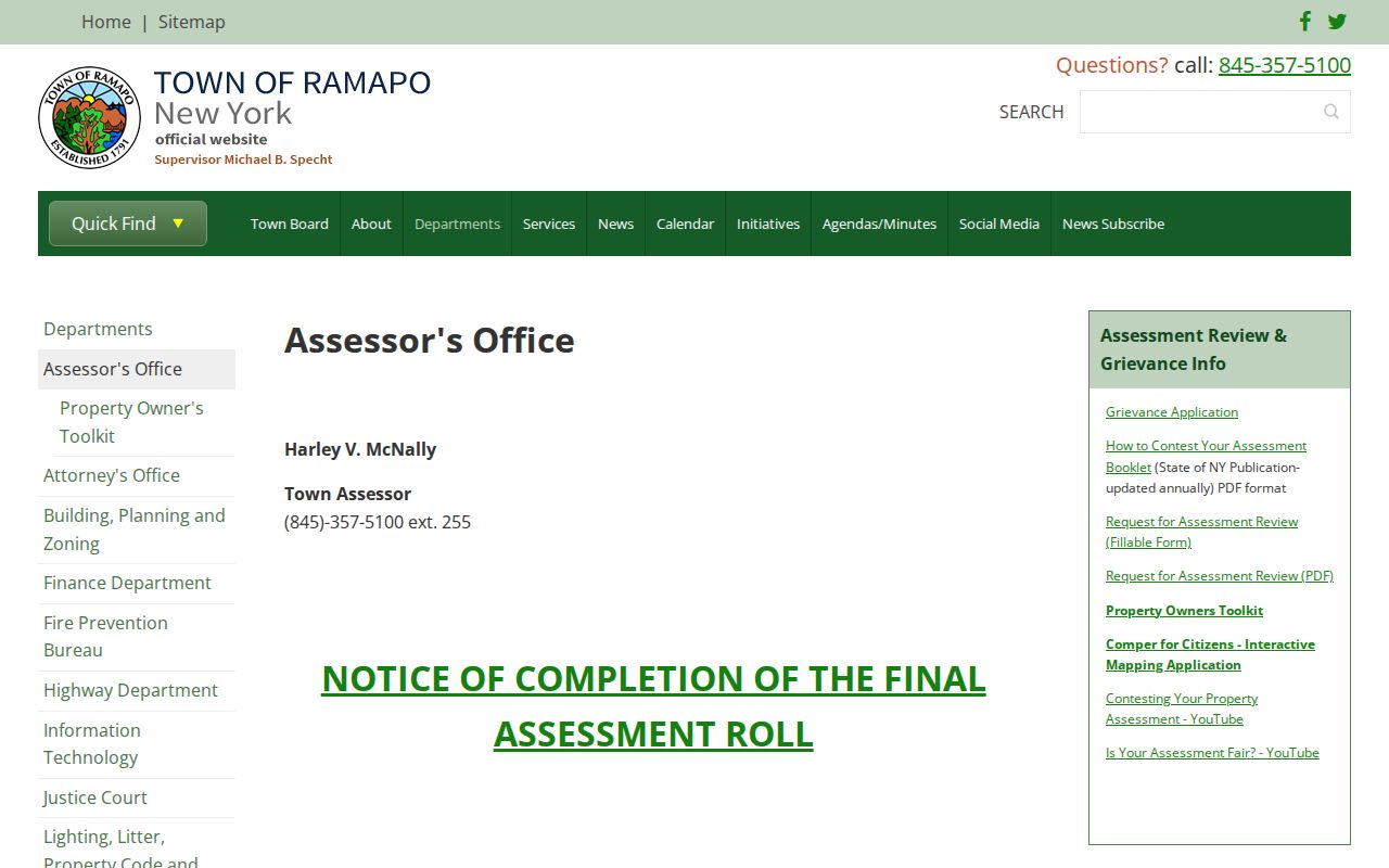
The annual-roll links offer an official address-keyed route, while the office remains the fallback for examining a parcel that a PDF does not make easy to find.
Ramapo Street Deed Records
The Rockland County Clerk document system helps turn an address into a recorded chain. Begin with the current tax owner as grantee around the likely acquisition date. Copy the grantor, recording date, document or book and page reference, and legal description. Search the prior grantor as grantee in an earlier period. Repeat until the online chain ends or the legal description changes.
Guest viewing is free. Printing needs an account and costs $0.50 per page, plus a 3% convenience charge on prepaid funding. County holdings reach deeds from 1798 forward; Archives holds historical originals for deeds from 1798 through 1907. A mortgage, assignment, or satisfaction can date financing but does not itself document a conveyance.
County Archives at 50 Sanatorium Road, Building S, Pomona is the fallback when an older book, map, or index is needed. Call 845-364-3670 before visiting because historic files are research material and should be confirmed in advance.
Ramapo Street Permits and Code Files
Address-keyed building records can add a dated human connection to a Ramapo road. The Building, Planning & Zoning Department handles permits and related applications. Its form asks for legal address, SBL, closest intersecting street, zone, construction value, present use, proposed work, owner or agent, and named project participants. The local code requires permit, certificate, complaint, and enforcement recordkeeping and public inspection.
No public address-searchable Ramapo permit history was located. Request the file through the department or Town FOIL route with the exact street address, SBL, permit number if known, and date range. The request is more likely to reach the right record when it names the certificate, complaint, or permit category sought.
The Ramapo Building Department page shows the official forms and records route.
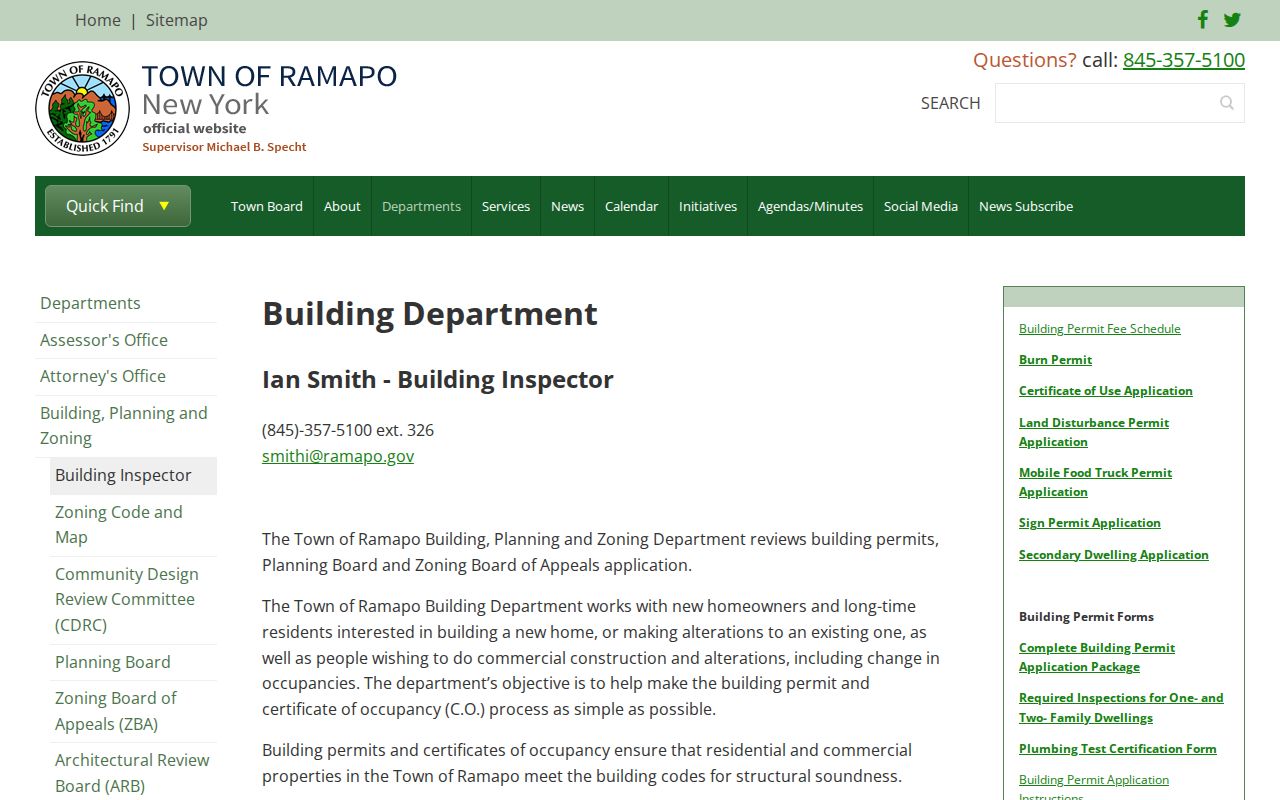
A permit or certificate can date work at an address, but it is not a complete list of everyone connected with the location.
The Town's public contact information names Building Inspector Ian Smith and lists the department at 845-357-5100 ext. 326. The County's Self-Service Plan Permit & Licensing Portal began in 2024 for submittals, inspections, documents, and payments, but the research did not confirm it as a public Ramapo permit-history search. For an older road record, use the Town department or FOIL request rather than assuming that an online portal will return a historical file.
Ramapo Street Directory Record Sets
A street-by-street search works because these records share an address, SBL, legal description, or street number. They do not share the same coverage. Use the table as a record map, not as a list of people who live on a road.
| Address-keyed record | Keeper | What it contributes | Access channel |
|---|---|---|---|
| Annual assessment roll | Ramapo Assessor | Tax owner, mailing line, value, exemptions, parcel identity | 2022-2026 PDFs and office inspection |
| GIS parcel map | Rockland County GIS | Address, SBL, geometry, boundaries, districts | Free online viewer |
| Deed and mortgage index | Rockland County Clerk | Grantor, grantee, date, document, legal description | Guest view, Clerk counter, Archives |
| Permit or code file | Ramapo Building Department | Dated work, application, certificate, or enforcement trail | Department or FOIL request |
| Voter list | Board of Elections | Registrant records by law and election district | Supervised access and election-purpose limits |
| Reverse directory | Suffern or New City library resources | Earlier address-to-occupant or business clue | Library research access |
For a current individual rather than a road sequence, use the Ramapo resident lookup approach. It begins with identity checks rather than a parcel walk.
Ramapo Street Postal-Label Quirk
A Ramapo street directory search can appear to jump towns when the actual issue is postal geography. Town Hall uses Suffern 10901, while Ramapo addresses can use Monsey, Spring Valley, Chestnut Ridge, New Square, Pomona, Sloatsburg, Hillburn, or Tallman labels. The 10977 line can identify Spring Valley, Chestnut Ridge, and New Square. It is a delivery label, not a municipal conclusion.
Use USPS to standardize the address, then confirm the parcel in GIS. Preserve the postal city in notes, because an older reverse directory may use it instead of Ramapo. The SBL and deed legal description are more stable links when a ZIP or village label changes.
Note: A USPS ZIP result confirms delivery formatting, not that a named person is at an address.
Ramapo Street Reverse Directories
For older address questions, the Ramapo Room at Suffern Free Library is the local historical fallback. It holds city directories, old newspapers, maps, clippings, historical census material, and a complete Journal News microfilm file. A reverse or criss-cross section, when present, can turn a street number into an occupant or business clue. Check the alphabetic section and the volume's abbreviation key before treating a mark as a fact.
The verified local anchors are the Rockland County Red Book and Classified Directory for 1926 and a Rockland County telephone book listed for 1933/34 at the New York State Library. Exact Suffern and Ramapo directory runs were not published by the official sources. The Ramapo city directory collections explain how to work year by year without inventing a missing edition.
Ramapo Street Directory Privacy Limits
A Ramapo street directory cannot show every person at an address. Property records track tax owners, who may be entities, trusts, estates, or people whose mailing lines are elsewhere. Voter records cover registrants, not every person at a location. Utility, delivery, and DMV address information are not public resident rolls. Protected Address Confidentiality Program participants may also be handled through a substitute address.
New York Election Law restricts voter-derived information to election purposes, and the Driver's Privacy Protection Act protects personal DMV data. A missing name does not prove that nobody lives at a location. When the goal is personal history or a parcel question, stay with the record type that actually documents that question.