
Ramapo Neighbors in Block Records
Public sources around a Ramapo address answer different, limited questions. GIS draws the parcel and its government layers. The assessment roll identifies a tax-record owner and mailing line. A deed gives recorded parties and legal boundaries. Planning and civic records can identify a public project or governing body. None of those sources is a complete roster of the people living on a block, and a name in one should be checked against the source date and parcel identity.
| Source | What It Shows About a Block | Access |
|---|---|---|
| Rockland GIS parcels | Adjacent geometry, road frontage, SBL, and municipal or district layers | Free GIS portal; browse and click with an accuracy disclaimer |
| Ramapo assessment roll | Tax-record owner, mailing address, value, exemptions, and parcel context | Annual PDF or Assessor inspection; an owner is not necessarily an occupant |
| County Clerk deeds | Transfers, parties, legal descriptions, and boundary clues | eSearch guest viewing; account route for printing |
| Tax maps and subdivision plats | Lot, block, road rights, and parcel creation | County Clerk, GIS, or Archives |
| Election-district material | District geography and registration records where lawfully available | Board supervision and New York election-law limits |
| Planning and zoning packets | Applicants, project address, public hearing dates, site plans, and adjacent roads | Ramapo public meeting materials |
| Library reverse directories | Earlier address or business clues when a relevant volume exists | Suffern and New City local-history collections |
Begin with the parcel rather than a person name. In Ramapo, a mailing label can be Suffern, Monsey, Spring Valley, Hillburn, Sloatsburg, Pomona, Chestnut Ridge, New Square, or Tallman even when the tax parcel falls under a different municipal layer. Keep the physical address, postal label, and SBL together as the block record develops.
Mapping Ramapo Neighbors by Parcel
The County Base Map accepts an address or Tax ID and can show parcels, roads, municipal boundaries, historic resources, land-use context, environmental and topographic layers, and election or political districts. The live tool's exact adjacent-parcel control was not documented in the research, so use the visible map controls for geography and confirm each parcel separately in the assessment roll or deed index. A polygon alone does not identify a neighbor by name.
- Find the subject Ramapo address in the GIS Base Map and record its SBL, road name, map date, and visible district context.
- Turn on parcel boundaries and identify polygons that share a boundary or sit immediately across the road.
- For each parcel, record the SBL and situs, then check the Ramapo assessment roll for the tax-record line.
- Use the Clerk deed index to compare legal descriptions and recorded parties when a parcel needs a boundary or transfer check.
- Use a subdivision name, cul-de-sac, village line, or road segment to define the practical block, especially outside a regular street grid.
For a full named-road record trail rather than an immediate block view, use the Ramapo streets directory. That search is built around the entire street sequence; a neighbor search should stay focused on adjoining parcels and the civic layers around them.
Note: County GIS developed its digital tax-map program from 1987 aerial photography and land records, and its public portal opened on June 1, 2020.
Ramapo Neighbor Boundaries First
A shared road or postal place does not guarantee one government jurisdiction. The Town Clerk serves as registrar for unincorporated Ramapo and the villages of Airmont, Kaser, New Hempstead, and New Square, while other village clerks can hold the relevant local record. County polling material groups Ramapo election districts under place labels including Suffern, Monsey, Spring Valley, Chestnut Ridge, Pomona, Sloatsburg, and Hillburn. Confirm the town, village, fire, school, and election layers before seeking a public meeting record or local official.
The GIS municipal-boundary and election-district layers are practical checks. They help separate the delivery address from the records office that may hold a permit, board packet, or tax-related file. A rural road segment can span a geography that does not behave like one compact city block. A precise SBL and map context reduce the risk of attaching a neighboring parcel's history to the wrong Ramapo address.
Ramapo includes Western areas around Suffern, Sloatsburg, and Hillburn as well as central and eastern postal areas around Monsey and Spring Valley. Those labels should be retained in notes because they can affect map searches, historic directory headings, and the public office to contact.
Ramapo Neighbors and Election Districts
Election material supplies civic geography, not a general-purpose block roster. New York Election Law §5-602 provides for annual election-district lists that may be arranged by street and number or alphabetically. Section 3-220 makes registration records public under board supervision while withholding driver's-license numbers, non-driver identification numbers, Social Security numbers, and facsimile numbers. The statewide lookup is a verification tool for a registered voter and requires name, date of birth, county, and address information; it does not offer a street-browse feature.
Election-derived data is restricted to election purposes under Election Law §3-103(5). For legitimate civic questions, the Rockland Board of Elections can clarify district and polling-place material. A no-match can result from spelling, address formatting, inactive status, protected registration, or a recent change. It does not prove that someone is not a Ramapo resident, and it should never be used to build or republish a block list.
The county's polling-place material is still useful when paired with a parcel map. It connects a Ramapo address to public institutions and election geography without making a claim about household membership.
Ramapo Neighbor Civic Resources
Public boards and local-history organizations are the appropriate community layer when a parcel question turns into a neighborhood question. Their materials can supply a project address, named applicant, public hearing, historic place name, map, or research contact. The inspected sources did not produce a complete private-association or block-watch member list. That absence is important: public civic records should not be presented as a directory of private households.
| Community layer | Publicly surfaced resource | What is available |
|---|---|---|
| Town civic boards | Planning Board, ZBA, CDRC, ARB, Assessment Review Board, Traffic Safety Board, and municipal historian | Agendas, packets, contacts, project references, and public meeting material |
| Village government | Airmont, Kaser, Montebello, New Hempstead, New Square, Suffern, and Sloatsburg channels | Jurisdiction-specific public records and board contacts, not a unified resident list |
| Public districts | County GIS and Board of Elections layers | District boundaries, polling locations, and public meeting context |
| Historical resources | Historical Society research resources, Suffern museums, and the Town historian | Historic block, railroad, factory, parish, and local-name context through research contacts |
| Library and genealogy resources | Suffern Ramapo Room and New City Rockland Room | Newspapers, directories, maps, census material, and staff reference help |
The Genealogical Society of Rockland County maintains collections at New City Library and the County Archives, including a computer with Rockland federal and state census images and indexes. The Town historian and museum resources can help untangle an older neighborhood name or industrial site, but neither replaces a deed, assessment, or map record.
Ramapo Neighbor Sources Compared
Official block records and commercial neighbor-search categories serve different purposes. A commercial compilation can merge information from property, marketing, and public sources, but its address matches can be stale or combined incorrectly. The county map, roll, deed, and public board file each identify their own source date and custodian. For a Ramapo parcel question, the official source should be the starting point and any conflicting result should be checked with that custodian.
| Source type | Best use | Key limit |
|---|---|---|
| GIS parcel map | Geometry, adjoining parcels, road, district, and municipal context | County disclaims completeness and positional accuracy; it is not proof of ownership |
| Assessment roll | Tax-record owner, mailing line, tax identity, and SBL context | An owner or mailing address is not a current occupancy statement |
| Recorded deed | Party roles, transfer date, and legal description | A conveyance is not a household roster |
| Commercial compilation | A possible lead to verify elsewhere | May be stale, merged incorrectly, or constrained by legal and privacy limits |
This comparison is the practical Ramapo rule: move from geography to parcel identity, then from parcel identity to a dated official record. Do not infer a current person from a map, a tax line, or a historic address alone.
Ramapo Neighbors in Older Blocks
Maps help explain why a present block looks different from an earlier one. Rockland GIS lists historic aerials for 1958, 1969–70, 1974, 1975–77, 1984 color, 1987, 2000 color, and 2001 color infrared. They can show when a road alignment, large site, or subdivision existed. The County's older maps and the 1876 Rockland Atlas, 1891 Hudson Valley Atlas, and 1798 to 1940 map index offer additional parcel and road checkpoints.
For the Suffern village center, the October 1921 Sanborn map has nine sheets showing building footprints, uses, and street relationships. Those maps do not name residents. Pair them with a deed, a directory entry, an obituary, or newspaper microfilm when investigating an older Ramapo block. A rail, mill, quarry, or turnpike reference can be a useful context clue, but never a substitute for an address-level record.
Note: The Ramapo Room emphasizes Western Ramapo, while New City Library's Rockland Room is countywide, so choose the research desk by the address geography and era.
Ramapo Election-Data Requests
The New York State Board of Elections FOIL page explains that voter-registration data requests need an election-purpose statement. It also describes statewide file delivery and the public-review route, which are separate from the voter verification screen.
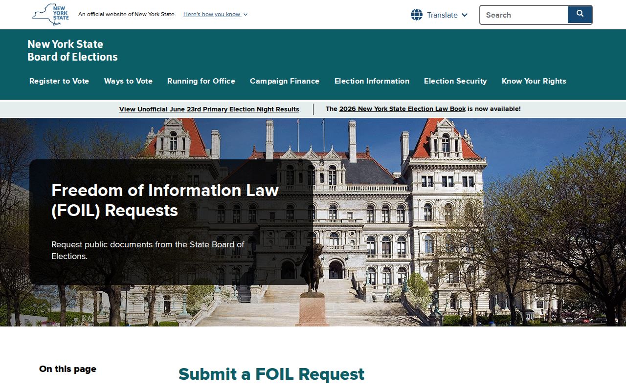
The request information is a reminder that registration data has defined access and use limits. Use it to understand official election-record channels, not to collect or distribute personal details about a Ramapo block.
Ramapo Neighbor Privacy Limits
Many facts about a block remain private. Public property records do not comprehensively list household members or non-owner occupants. Utility and delivery records are not public resident lists. The New York Address Confidentiality Program protects qualifying participants through a legal substitute address, and participants can use a Statement of Confidential Voter route with the county board. Court and vital-record restrictions also apply independently of FOIL.
New York Penal Law §§120.45–120.60 defines stalking offenses, and §240.26 addresses harassment in the second degree. The lawful response to an uncertain parcel or name is to verify it with the custodian, not to increase contact or surveillance. DMV personal-address data is separately restricted by the federal Driver's Privacy Protection Act, and FOIL does not override a specific confidentiality law.
Lawful use. Ramapo neighbor research can support civic awareness, family history, and property curiosity. Do not use public records to watch, intimidate, harass, or harm any person.